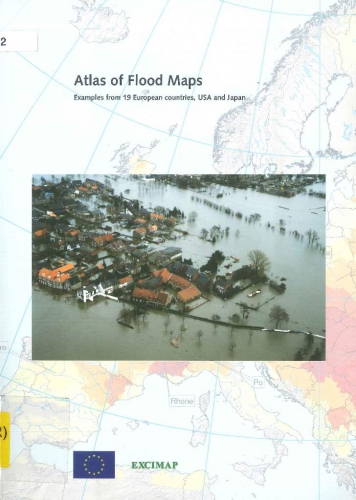
 Atlas of flood maps: examples from 19 countries, USA and Japan
JPG file - 80.49 kB - 728 x 1 024 pixels
added on 2016-10-18360 viewsFrom reference van Alphen, J.; Passchier, R. (Ed.) (2007). Atlas of floo...
This work is licensed under a Creative Commons Attribution-NonCommercial-ShareAlike 4.0 International License
Click here to return to the thumbnails overview |


